Summary
Vijayawada and several parts of Andhra Pradesh experienced sudden heavy rainfall today, providing much-needed relief from the rising summer heat. The unexpected downpour caught many residents by surprise as dark clouds gathered quickly over the city. Weather experts have issued a warning that these thunderstorms are likely to continue across the state for the remainder of the week. While the rain has cooled the air, it also brings concerns regarding traffic movement and potential damage to seasonal crops.
Main Impact
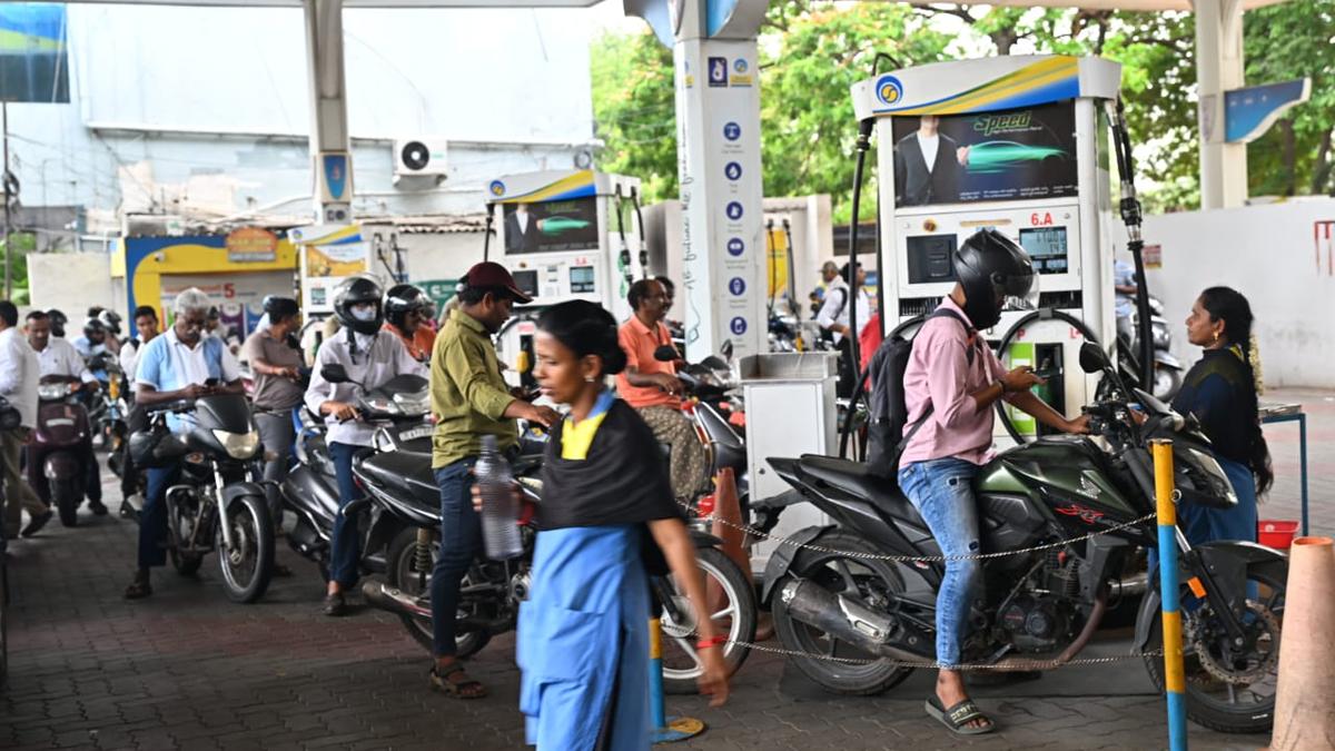
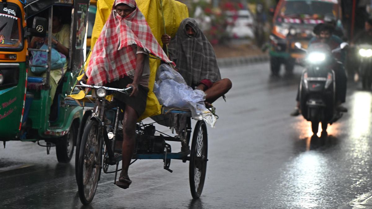
The most immediate impact of the sudden rain was a sharp drop in the local temperature. Before the clouds arrived, the region was facing high heat levels typical of mid-March. The cooling effect has made the weather much more pleasant for the general public. However, the intensity of the rain caused temporary waterlogging on several main roads in Vijayawada, leading to slow-moving traffic during peak hours. For the agricultural sector, these rains are a mixed blessing, as they help some plants but can harm crops that are currently being harvested.
Key Details
What Happened
The weather changed rapidly in the afternoon. What started as a cloudy sky quickly turned into a heavy downpour accompanied by strong winds and loud thunder. In Vijayawada, areas like Benz Circle, MG Road, and the railway station area saw significant rainfall within a short period. Pedestrians and two-wheeler riders had to seek shelter under bridges and shop awnings to escape the sudden burst of water. Similar conditions were reported in nearby Guntur and parts of the Krishna district.
Important Numbers and Facts
The India Meteorological Department (IMD) has noted that a trough of low pressure is the main reason for this weather change. Rainfall amounts varied across the city, with some areas recording several centimeters of rain in just one hour. Wind speeds during the thunderstorm were estimated to be between 30 and 40 kilometers per hour. The weather office predicts that these conditions will persist for the next four to five days, affecting not just the coastal regions but also parts of Rayalaseema.
Background and Context
In Andhra Pradesh, March usually marks the beginning of the dry and hot season. During this time, the land heats up quickly, which can cause moisture from the Bay of Bengal to rise and form storm clouds. These are often called pre-monsoon showers. While they are common, their timing and strength can be hard to predict. This year, the sudden shift is particularly notable because the previous few weeks had been unusually dry and warm, making the sudden rain feel more intense to the local population.
Public or Industry Reaction
The general public has mostly welcomed the rain, with many people sharing photos and videos of the cool weather on social media. Many residents expressed relief that the early summer heat has been broken. However, the farming community is worried. Farmers growing chillies, pulses, and grains are concerned that excess water and strong winds might damage their produce. Local municipal authorities have been put on alert to clear blocked drains and ensure that rainwater does not stay on the roads for too long, which could lead to health issues or further traffic problems.
What This Means Going Forward
As the thunderstorms are expected to continue, residents should stay prepared for more rain throughout the week. The weather department advises people to stay indoors when they hear thunder to avoid the risk of lightning strikes. Drivers are encouraged to be careful on slippery roads and avoid parking under old trees or weak structures that might fall due to high winds. For the government, the focus will be on monitoring water levels in low-lying areas and providing updates to farmers to help them protect their livelihoods from the changing weather patterns.
Final Take
The sudden rain in Vijayawada is a clear sign that the weather is becoming more unpredictable as the seasons change. While the cool breeze and lower temperatures are a welcome break from the heat, the potential for disruption remains high. Staying informed through official weather reports will be essential for everyone in Andhra Pradesh this week. Balancing the joy of a cooler climate with the practical needs of safety and crop protection is the main challenge for the days ahead.
Frequently Asked Questions
How long will the rain last in Andhra Pradesh?
According to the latest weather reports, thunderstorms and light to moderate rain are expected to continue for the next four to five days across various parts of the state.
Is it safe to travel during these thunderstorms?
While travel is possible, it is better to avoid being on the road during heavy downpours and lightning. If you must travel, drive slowly and stay away from areas prone to flooding.
Will this rain stop the summer heat permanently?
No, these are pre-monsoon showers. While they provide temporary relief and cool the air for a few days, temperatures are expected to rise again once the rain clouds clear later this month.